The challenge, I'd have thought, wasn't too difficult. I had a fully charged Nokia N95, with latest firmware and built-in Assisted-GPS (of course). Time to get helped home by trying out several of the free navigation systems in their latest versions.
amAze
From my experiences last year, I remember amAze as giving a slick experience and... well... working. It seems that this has gone backwards in every measurable way since 2007. Step 1 was to try and download the app. It took my three attempts to get to a valid download page and then I was presented with a temporary user name and password. Err... what? Why do I need this? There's not even a way of copying it to the clipboard, so I had to write these down on a piece of paper(!). Ugh.
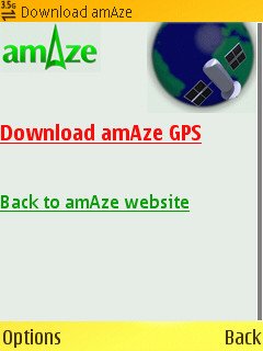
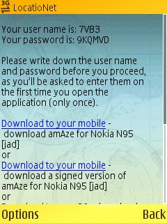
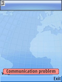
Scrolling down the page showed two different versions for the N95, one signed and one err... not. Messy. I plumped for the signed one and installation then proceeded as normal. Starting amAze from the apps menu showed an initial pretty loading screen - and then, a few seconds later, an error message 'Communication problem'.
I tried again. And again, after making sure that both GPS and data connection were OK. Same error, absolutely nowhere to go. I tried again two hours later and all was the same. Were amAze's servers down today? Who knows - I couldn't see a status message telling me of downtime.
Not a good start to my journey home then.
Nav4All
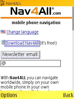
The 'other' free navigation suite for GPS-enabled smartphones, Nav4All got further than amAze - which wasn't hard. It was easier to download too, just pick the download link and you're in. One complication was that there's a companion module, Nav4AllSys, which needs installing by the app after the initial startup - I have absolutely no idea why this isn't part of the initial Java archive - comments welcome. Still, only a minor hiccup, I thought.
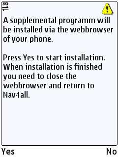
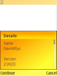
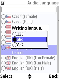
Things were proceeding in welcome fashion - I got prompted to choose a language and then download the voice guidance files, thankfully only a megabyte or so. Requesting 'GPS information' showed my location perfectly from the N95's internal GPS and choosing 'Map' showed exactly where I was, albeit in rather crude diagrammatic form. Still....
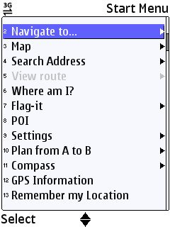
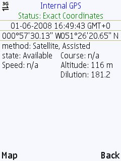
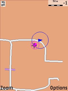
Piece of cake, I thought to myself. And free until 2010. A deadline which gets extended every year, so effectively free forever? I punched in my home postcode and the road address was brought up very quickly. I hit 'next', in order to start navigating. An error message, 'no GPRS 5', came up. What? What's GPRS got to do with anything - I was on a strong 3G signal and under an open sky, so no problems with GPS. And what's the '5' bit all about? I tried using 'Recalc' on the pop-up menu but all I got was an interminable 'Calculating...' message and trying to go back in via the main menu just brought up the 'no GPRS 5' error.
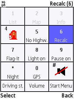
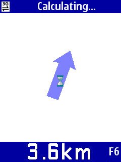
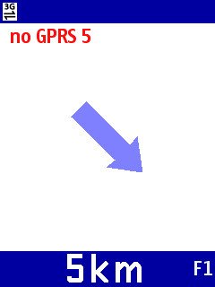
All very strange. Nav4All knew where I was, it knew where I was going to, and it even calculated the rough distance away and general direction (as far as I could tell) - I tried several times over the course of a couple of hours and it never once gave me a single route instruction.
Failed. Sigh.
Google Maps for Mobile
If you've tried this yourself, you'll know that it's not strictly a satellite navigation system - at least not yet. Free for everybody to use, it provides GPS or cell-tower-driven location data, showing you the roads or satellite imagery around you. Heavy on the data, it's true, but extremely useful. For the last year or so, there have been native versions for the major smartphone platforms, so, unlike Nav4All and amAze, this is (in this case) a fully native S60 application, able to do just about anything it wants to (Google being able to afford the Symbian Signing fees, of course!).
So, with this in mind, what I want to know is: "Why haven't Google implemented at least rudimentary real time route calculation and prompting?" There are no technical limitations and, again, Google isn't short of manpower or money. Here's how the current route calculation system works.
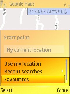
Having set your destination, either by searching by postcode or address, or simply by picking a spot from a map, you then have to go through a slightly tortuous 'Start point/End point' dialog, manually filling in the start point by using a menu option - given that 99.9% of users will be wanting to go from their current position, this is simply a poor UI choice. Then there's another menu option needed, 'Get directions', and finally 'Show'. Time consuming and messy.
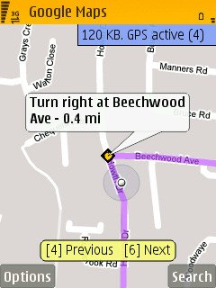
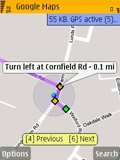
You're then left to step through the route junctions, one by one. There's a flashing blue dot to show where you are at the moment, but there's no attempt to track your progress through a route by auto-advancing the instructions, something which would be programming childs-play. When the next junction is a kilometre or so away, the blue dot is nowhere to be seen, typically, and following a planned route is almost impossible to do safely if you're the driver and have no passenger to molly-coddle Google Maps for Mobile. AND there's no easy way of saying 'Recalculate from where I am now, please'. Instead, you have to go back into the 'Directions' dialog and semi-manually fill in start and end points all over again. And so on. By which time you've driven another kilometre and the directions are possibly out of date anyway.
As a pedestrian, this step-by-step routing works very well, and the blue dot is always visible. But it's laughable for a driver.
It would be sooooo easy for Google to go the extra mile and take their Maps for Mobile product into real-time territory - even auto-stepping through junctions as the blue dot passed each would be a huge step forwards. Maybe they haven't got the vision. Or maybe they're purposefully avoiding overlapping the functionality of the major commercial packages for fear of annoying a large software industry? Who knows.
Did I get home OK? Yes, using Google Maps for Mobile and stopping every mile or two to work out what the heck it was telling me. Not a good weekend for freebie sat-nav solutions then......
Steve Litchfield, All About Symbian, 1 June 2008
